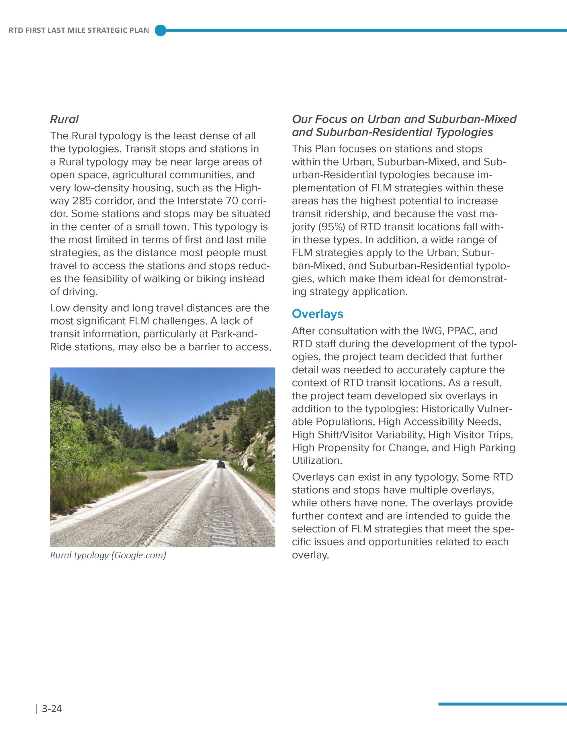
RTD First-and-Last Mile Strategic Plan

RTD First-and-Last Mile Strategic Plan

Case Study
For Denver’s Regional Transportation District (RTD), building on a transit service that reaches more people effectively means facilitating efficient and safer connections from destination to destination. Covering more than 2,300+ miles and serving just over 3 million people, RTD sought a plan to guide future safety and access improvements to support first and last mile trips across 40 cities in and surrounding Denver, Colorado.
Leading a team of firms, UrbanTrans worked closely with RTD and the project planning advisory committee representing key stakeholders in the region to develop a comprehensive first and last mile strategy toolkit. The plan covers all modes of transportation, including improving access for transit, TNC pick-ups and drop-offs, pedestrians, bicyclists and micromobility users all while integrating TDM programs to complete the package of solutions.

Denver, Colorado
2018-2019
First and Last Mile
Planning

Results

The project team developed a methodology to put the first and last mile toolkit into action and identify the most suitable and practical strategies to improve station access. This methodology was applied to 15 representative stations across the district to showcase to local jurisdictions how they can perform their own analysis and generate recommendation for their stations. 

Other Projects You Might Like

How the ATL Airport Slashed Commute Times, Costs With Their Award-Winning Carpool Program​
Designing an Equitable, Sustainable Transportation Option for Airport Employees
Readying Toronto for the Great Welcome Back

Atlanta Regional Commission Bike-Transit Parking Best Practices Guidelines

Atlanta Regional Commission Bike-Transit Parking Best Practices Guidelines

Atlanta, Georgia
This task involved primary data collection using virtual reality 360 cameras to allow stakeholders to visually experience the transit stations without having to visit them. The virtual reality imagery also helped identify potential locations for bicycle parking facilities.
UrbanTrans was a key member of a team that developed a strategic bike-transit parking plan for the Atlanta Region. Our role was to develop a best practice guidebook for ARC to support the implementation of a regional bicycle parking at transit program. The team identified case studies from across the US and conducted interviews to understand how other agencies operate bike to transit programs and gather lessons learned in implementation. UrbanTrans also supported the team in conducting bicycle audits around major transit stations within the Atlanta region. This led to the development of access improvement plans and an understanding of current bicycle parking conditions. This task involved primary data collection using virtual reality 360 cameras. This visual data allowed stakeholders to experience the transit stations without having to visit them. The virtual reality imagery also helped identify potential locations for bicycle parking facilities. Results: The final best practices guidebook covered topics such as implementation costs, estimating use, recommended infrastructure types, membership models and marketing strategies. This project was a part of ARC’s wider “Walk!, Bike! Thrive!” plan, which won the Transportation Planning Excellence Award from the Federal Highway Administration in 2017.